UAV lidar and photogrammetry imaging applications are increasing rapidly. This is not surprising as using GPS enabled UAVs for aerial surveying is very cost effective in comparison to hiring an aircraft with photogrammetry equipment.

In the past, companies would need to use a separate personalized system for each application. Through innovations by leading LiDAR manufacturers like Livox and Velodyne to lower the costs and size of LiDAR models and system integrators such as GreenValley, YellowScan, Emesent and more, companies can now easily deploy a LiDAR system mounted onto a UAV as an all-in-one 3D mapping device.

While a lot of focus has been put on the growing use of RGB camera-enabled drones and photogrammetry to achieve improvements – such as cutting rework on certain construction projects by 25% – LiDAR technology has slowly started to become accessible as a high resolution and accuracy option.


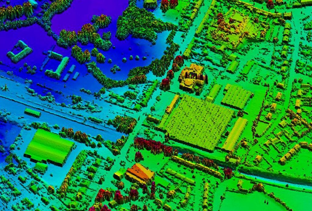
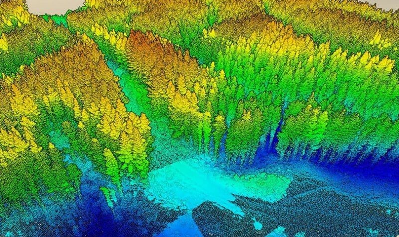
LiDAR (Light Detection and Ranging) is a remote sensing technology that uses rapid laser pulses to map out the surface of the earth. LiDAR is useful when used to create high resolution digital surfaces, terrain and elevation models used for various business applications.
While a lot of focus has been put on the growing use of RGB camera-enabled drones and photogrammetry to achieve improvements – such as cutting rework on certain construction projects by 25% – LiDAR technology has slowly started to become accessible as a high resolution and accuracy option.

Contact Information
Follow Us